Foxar+
Earth Coordinates
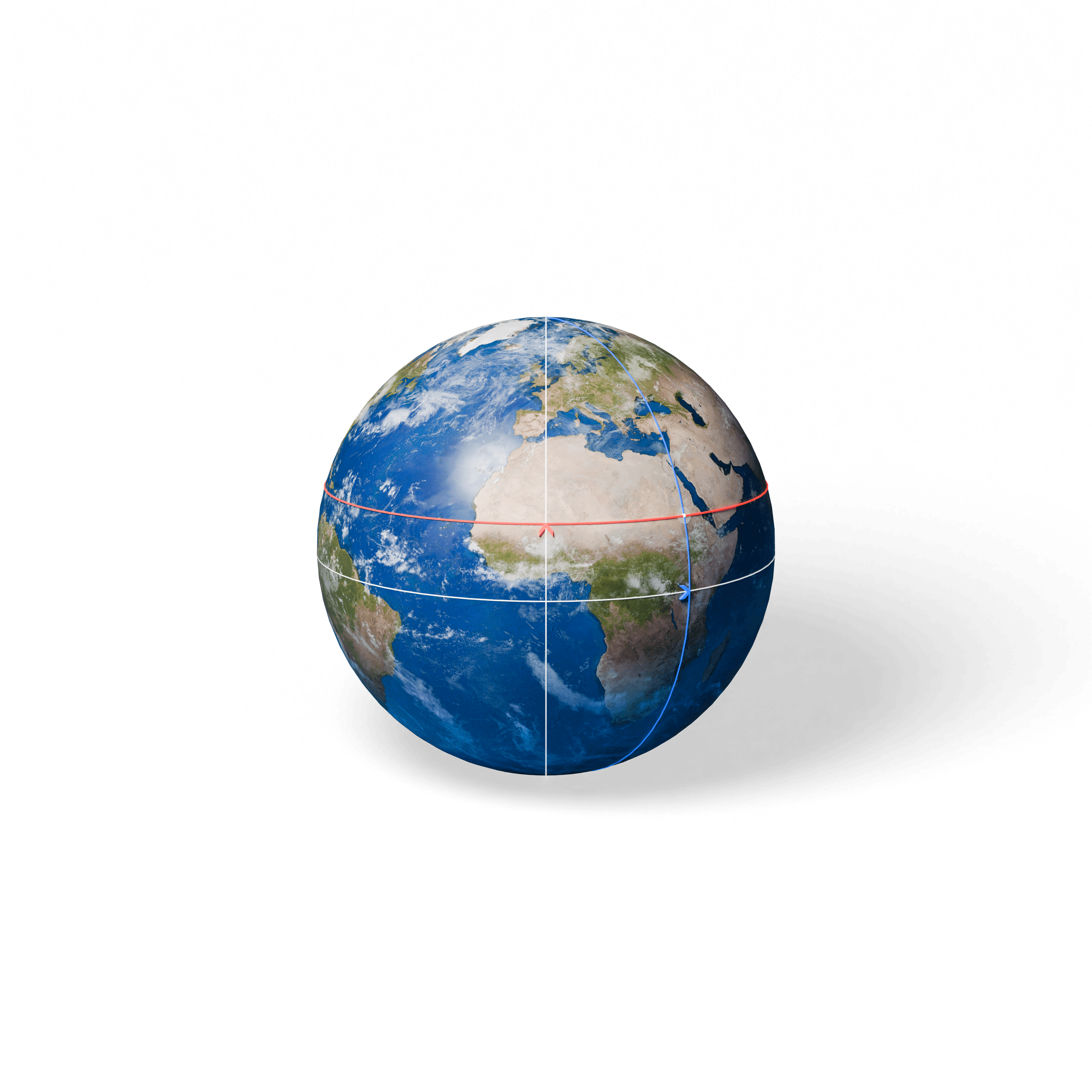
Latitude and longitude are a global coordinate system used to pinpoint any location on Earth's surface. Latitude measures a location's distance north or south of the Equator, ranging from 0° at the Equator to 90° at the North and South Poles. Longitude measures a location's distance east or west of the Prime Meridian, which is defined as 0° longitude and passes through Greenwich, England, extending up to 180° east or west. By combining latitude and longitude, we can specify the exact geographic position of any point on Earth, which is essential for navigation, mapping, and global communication.
Open the resource