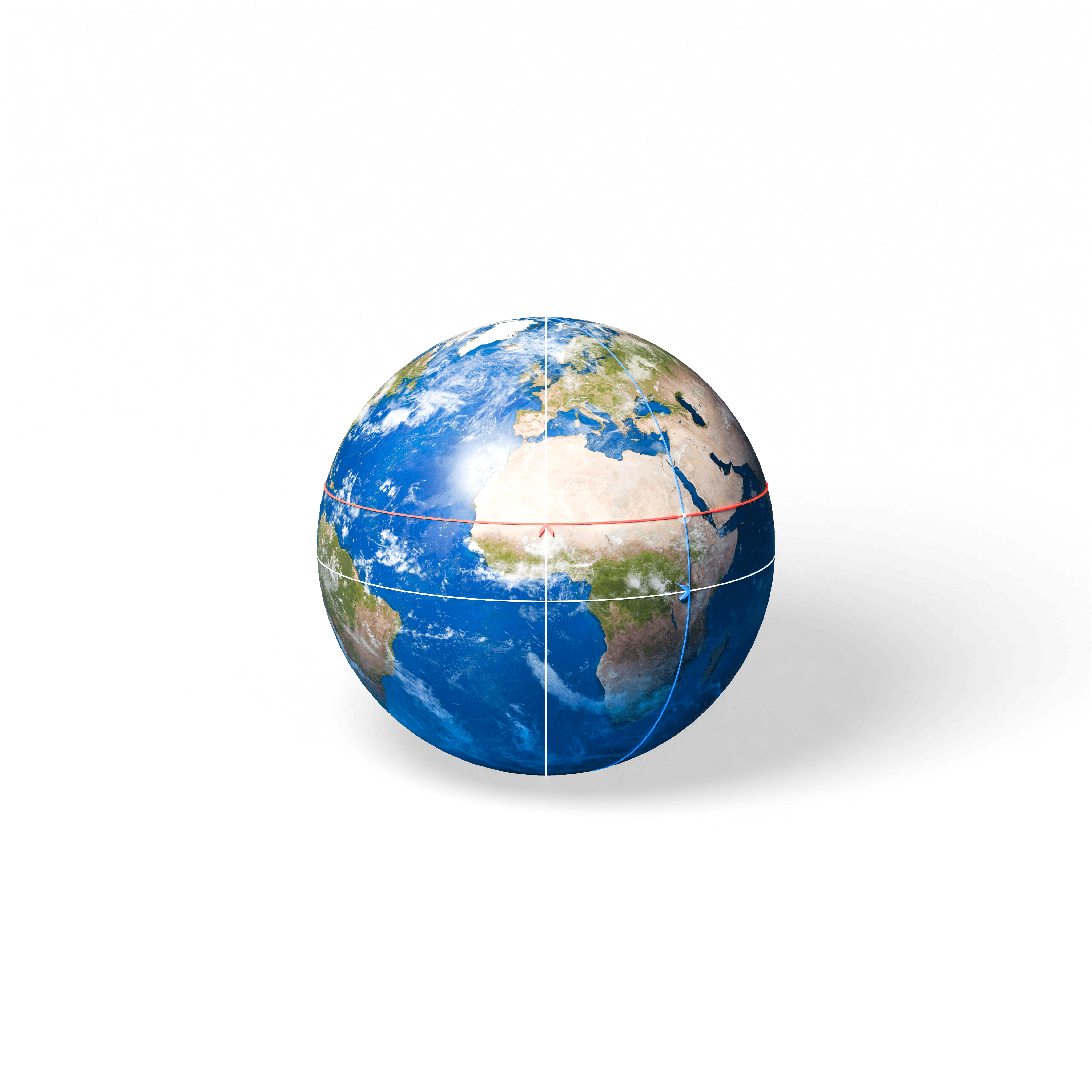
Šī maquette ilustrē ģeogrāfisko koordinātu sistēmu, izmantojot platuma un garuma grādus, lai noteiktu jebkuru punktu uz Zemes.