AgejdanTisujayin0

Landforms of Europe

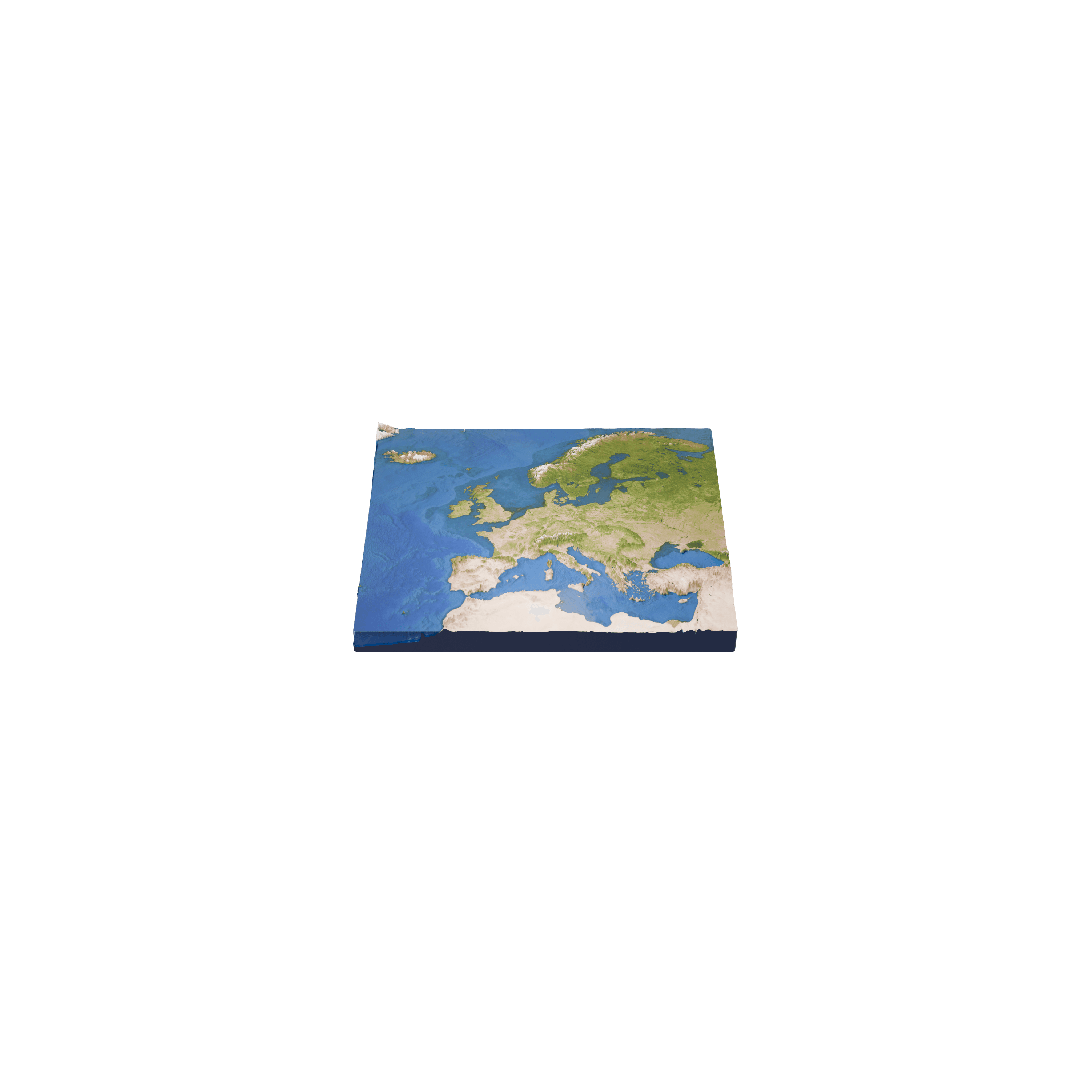
This model allows you to discover the main landforms of Europe, from the Alps and the Pyrenees to the Scandinavian Mountains and the glaciers of Iceland.

Yella s uqeddec aseqdac

Isteqsiyen ɣef umedya-agi 3D

Landforms of Europe

Amek i ttwasnulfan Alpes?

Idurar n Alpes ttwaɛlan s usemlil n yiplaques tectoniques n Tafriqt d Eurasie. Ttemẓi qrib 1,200 km ger tmanya n tmura, yerna aqerru-nsen iɛlan akk, Mont Blanc, ɣef lḥedd ger Fransa d Ṭelyan, yewweḍ ɣer 4,807 n lmitrat.

D acu-t tilɣa timeqqranin n tmurt deg ugafa n Turuft?

Idurar n Scandinavie ttemẓi ɣef péninsule Scandinave, yerna aqerru-nsen iɛlan akk, Galdhøpiggen deg Norvège, yewweḍ ɣer 2,469 n lmitrat, amkan iɛlan akk deg tmurt tameqqrant n Turuft n ugafa. Deg Islande, calotte glaciaire n Vatnajökull tkessa qrib 7,700 km², ayen yeɛnan qrib 8 s tmeggit n tmurt, tuffer kra n yibrikanen ddaw glace-is.

Iɣbula

  • Wikipedia: Alps
  • Wikipedia: Scandinavian Mountains
  • Wikipedia: Vatnajökull

© 2026 Foxar