HomeSubjects0

Landforms of France

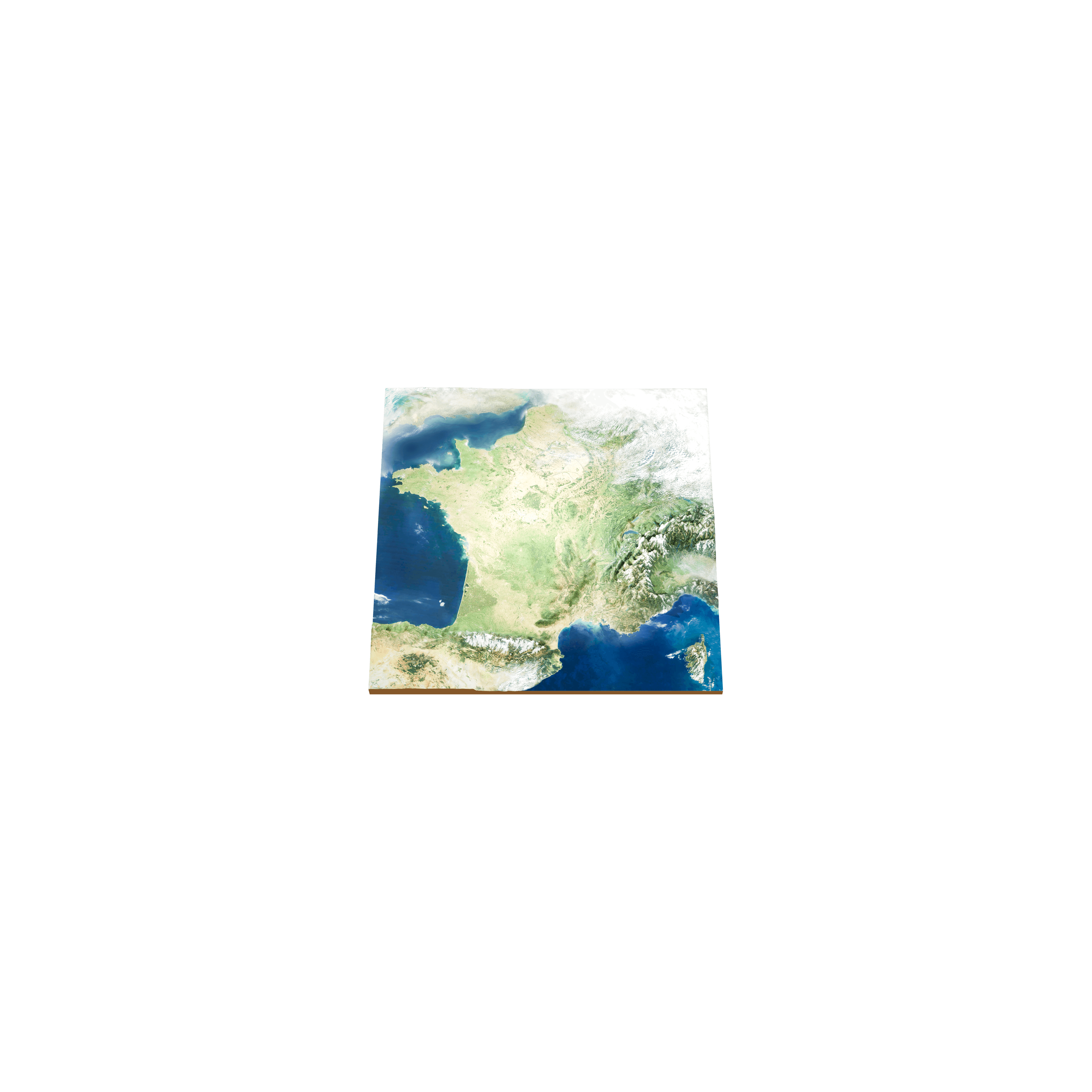
Discover the main landforms of France, notably the Alps, the Pyrenees, and the Massif Central. In this model, the scale of the landforms is multiplied by 100.

Available with a subscription

Questions about this 3D model

Landforms of France

What are the main mountain ranges of France?

The Alps, in the east, hold Mont Blanc, at 4,807 metres on the border with Italy, the highest mountain in Europe outside the Caucasus. The Pyrenees stretch for nearly 500 km along the border with Spain; their highest peak, Aneto, at 3,404 metres, lies on the Spanish side.

Are there volcanoes in the Massif Central?

Yes. The Massif Central, which covers about 15% of mainland France, was shaped by volcanoes whose activity died down within the last 10,000 years. Its highest point is the Puy de Sancy, at 1,886 metres, and the Puy de Dôme, at 1,464 metres, is one of its best-known volcanoes.

Sources

  • Wikipedia: Mont Blanc
  • Wikipedia: Pyrenees
  • Wikipedia: Massif Central

© 2026 Foxar