HomeSubjects0

Landforms of Europe

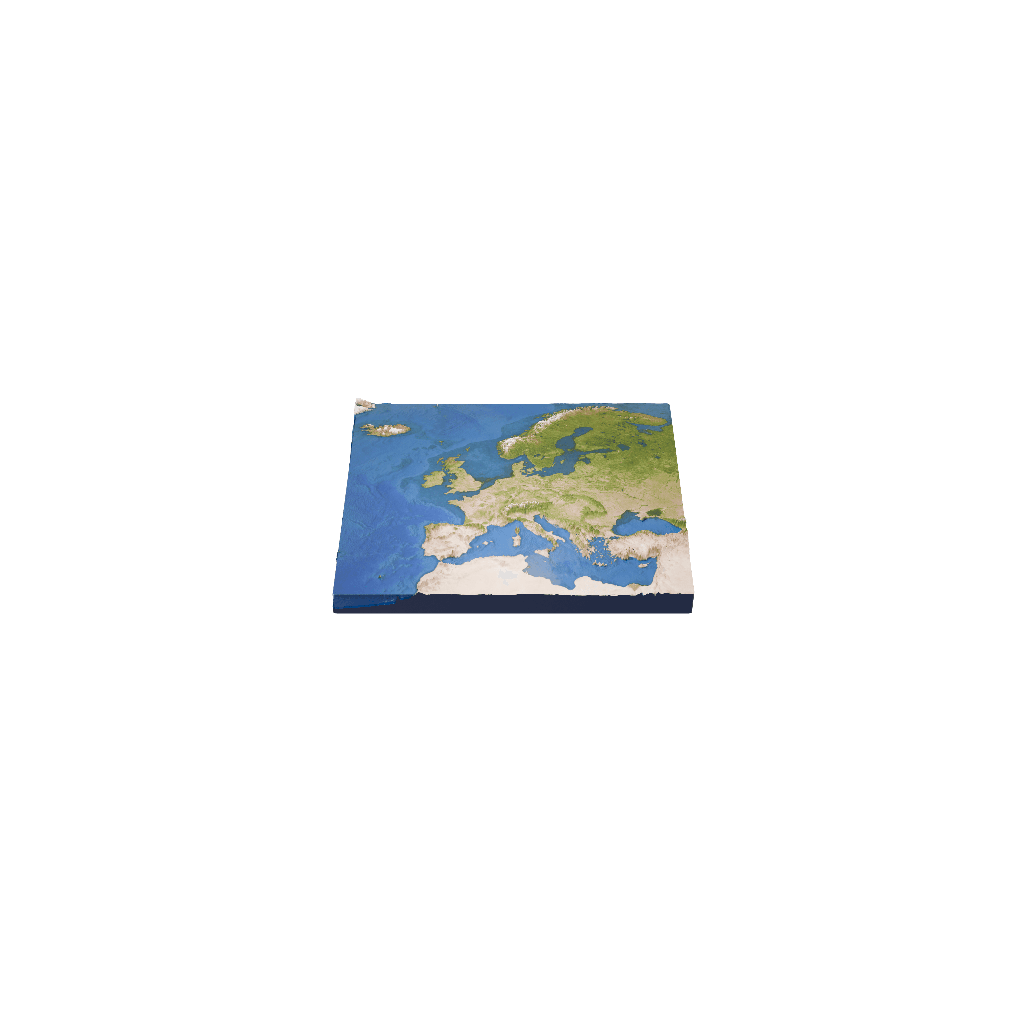
This model allows you to discover the main landforms of Europe, from the Alps and the Pyrenees to the Scandinavian Mountains and the glaciers of Iceland.

Available with a subscription

Questions about this 3D model

Landforms of Europe

How were the Alps formed?

The Alps were raised by the collision of the African and Eurasian tectonic plates. They stretch for about 1,200 km across eight countries, and their highest summit, Mont Blanc, on the border between France and Italy, reaches 4,807 metres.

What are the main landforms of northern Europe?

The Scandinavian Mountains run along the Scandinavian Peninsula, and their highest peak, Galdhøpiggen in Norway, reaches 2,469 metres, the highest point of mainland northern Europe. In Iceland, the Vatnajökull ice cap covers about 7,700 km², some 8% of the country, and hides several volcanoes beneath its ice.

Sources

  • Wikipedia: Alps
  • Wikipedia: Scandinavian Mountains
  • Wikipedia: Vatnajökull

© 2026 Foxar