HomeSubjects0

Landforms of Asia

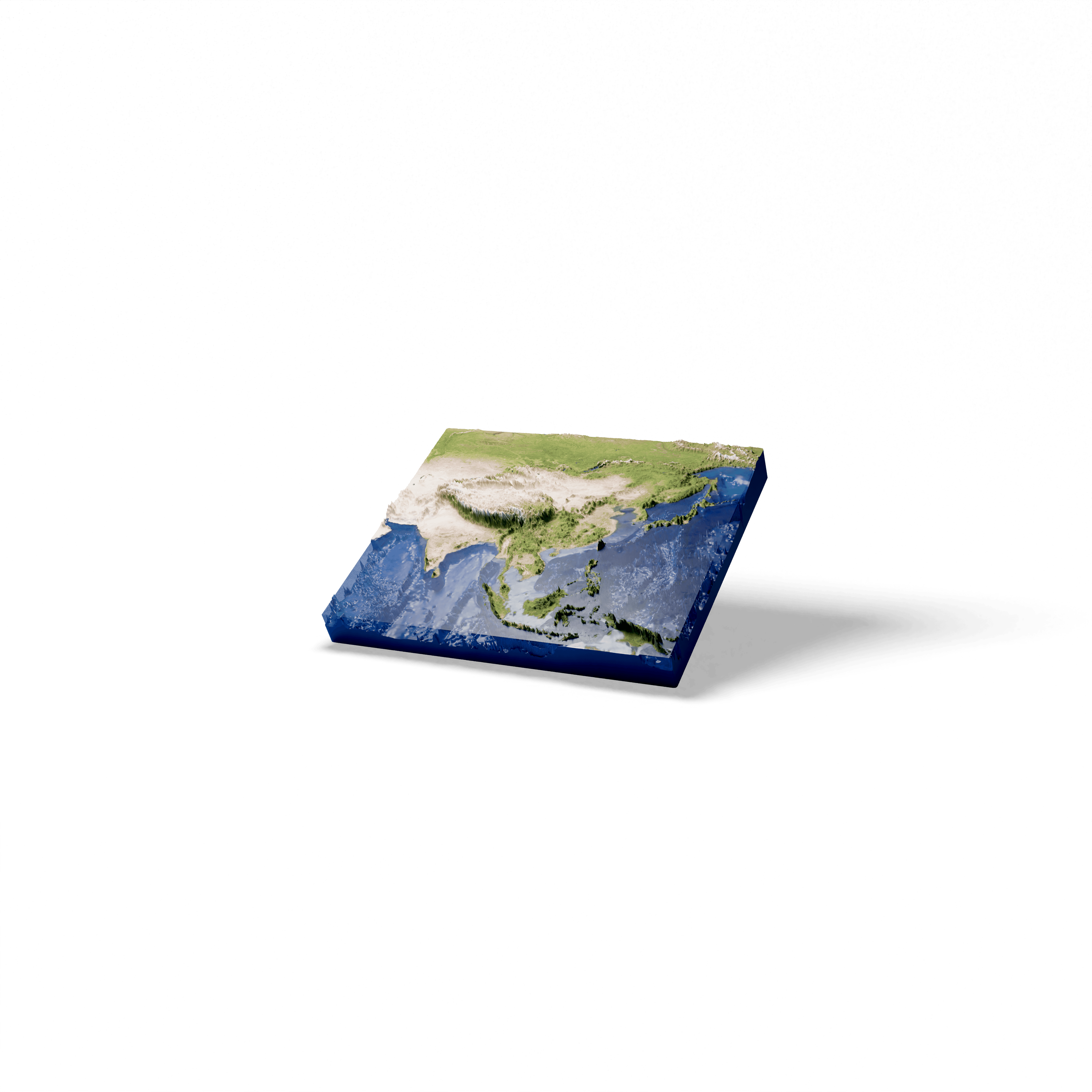
Discover the landforms of Asia and the surrounding oceans. In this model, the scale of the landforms is multiplied by 100.

Available with a subscription

Questions about this 3D model

Landforms of Asia

How did the Himalayas form?

The Himalayas were uplifted by the collision of the Indian tectonic plate with the Eurasian plate. The range forms an arc about 2,400 km long and contains the highest summits on Earth, including Mount Everest.

Why is the Tibetan Plateau called the Roof of the World?

The Tibetan Plateau covers about 2,500,000 km² at an average height of more than 4,500 metres, surrounded by mountain ranges that hold the two highest summits on Earth, Everest and K2. It also contains the sources of the three longest rivers of Asia: the Yellow River, the Yangtze and the Mekong.

Sources

  • Wikipedia: Himalayas
  • Wikipedia: Tibetan Plateau

© 2026 Foxar